9월 21일자 구글 LatLong 블로그 소식입니다. 콧제부(Kotzebue) 다음으로 놈(Nome)이라는 작은 도시에 가서 고등학생을 대상으로 구글어스(Google Earth) 등을 교육했다는 내용입니다.
교육이 끝난 뒤에는 선생님들과 환담을 나누고, 주변을 관광했다고 하네요. 중간에 기가팬(Gigapan)으로 촬영한 파노라마도 한장 들어 있습니다.
아래 삽입한 것이 기가팬 파노라마인데, 황금색/적색의 툰드라 모습을 보실 수 있습니다.
참고로
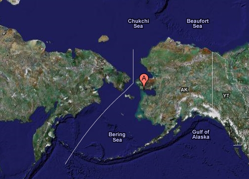
알래스카의 놈(Nome)이라는 동네는 베링해협을 사이로 러시아와 접하고 있는 동네(약 250km)라서, 냉전 당시 구 소련에서 날라올지도 모를 비행기나 미사일을 감시하기 위한
White Alice communications station이라는 시설이 있었는데, 현재는 철거되었다고 합니다.
민, 푸른하늘
====
http://google-latlong.blogspot.com/2008/09/geo-educations-alaska-trip-diary-day-5.html
Sunday, September 21, 2008
at
8:59 PM
Posted by Katie Kennedy
, University of Alaska Geography Program
Nom After a short flight from Kotzebue, we landed in Nome in pleasant weather and caught a cab to our hotel. Our cab driver wistfully mentioned that he had just arrived home from Fairbanks,
where he had played his last round of golf for the year. A university
vehicle awaited us at the hotel and we discovered that our cab driver
is also the mechanic who had just serviced our borrowed rig. He is an
example of a phenomenon quite common in small Alaskan towns, where many
people display numerous talents and fill a variety of roles within
their communities.
We had another great school experience at Nome Beltz Jr-Sr High School.
As with our earlier school visits, we saw quite a few hands go up when
students were asked if they had used Google Earth before, but then the
students were amazed to discover so many new layers and features they
hadn’t known about. During the lessons, it was so great to see the
light bulbs go on when students realized that they can even go beyond
exploring these layers and can create and view their own content in
Google Earth. That’s what this is all about – helping students have an
“aha” moment.
After school, we
met with faculty and staff to share information and discuss classroom
activities and school projects. Some teachers had already come up with
ideas for geo-based projects and lesson plans, and although we were at
the tail-end of an extremely busy week, I was suddenly re-energized by
the conversation.
We were lucky enough to be offered a quick tour – and an opportunity for the school to use their new GigaPan. All of the principals have been so generous with their time! We
piled into a school van and saw the sites, with commentary from the
school’s director of technology and the principal at the wheel. We
drove up to the top of Anvil Mountain on a rugged gravel road. This mountain was the site of a White Alice communications station during the Cold War. Nome is only 160 miles from Siberia and the Anvil White Alice was designed to detect planes or missiles coming from Russia. The site has been cleaned up, but at the request of the people of Nome, the shells of the towers still remain.
We continued up the road and set up the GigaPan to take a panoramic view of the fall tundra, old gold dredges, and the waters of Norton Sound.
The undulating hills of red and gold were gorgeous to behold – take a
look for yourself by panning around and zooming in on this image: